Here are some historic maps of the area of the tragic fire at the corner of Market and Parker Streets. The fire took place in Lawrence in the early morning hours of January 21, 2008. These maps are from Atlases (1875 - 1926). They show the development of the neighborhood over time. The names written by the structures are those of building owners, not necessarily the occupants of the structures. The yellow color indicates that buildings were of wood construction. The pink color indicates brick construction and the blue or gray indicates stone. One can also track the Essex Company land as it was sold off for commercial development and housing during that period. From a 1926 street atlas: Richards Map Co., Lawrence, MA. Publisher. 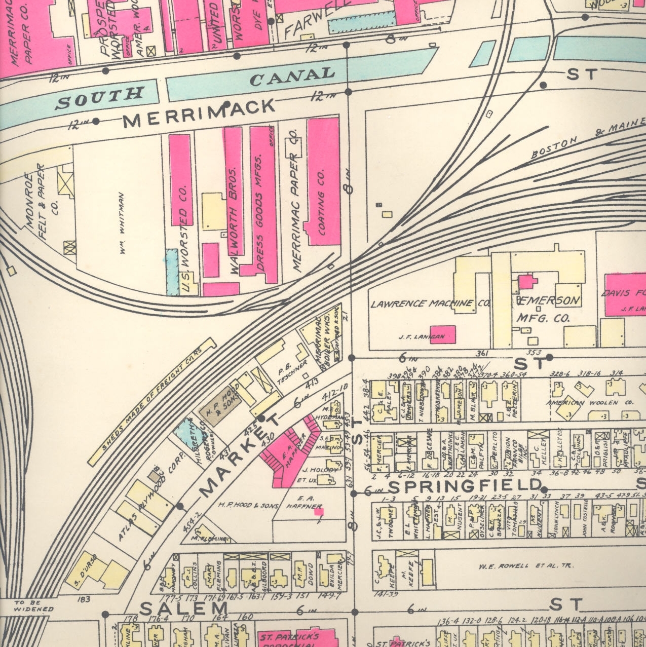 Click to see hi-resolution image The same map, but smaller scale:
  From 1906: L.J. Richards and Co., Boston, MA. Publisher
 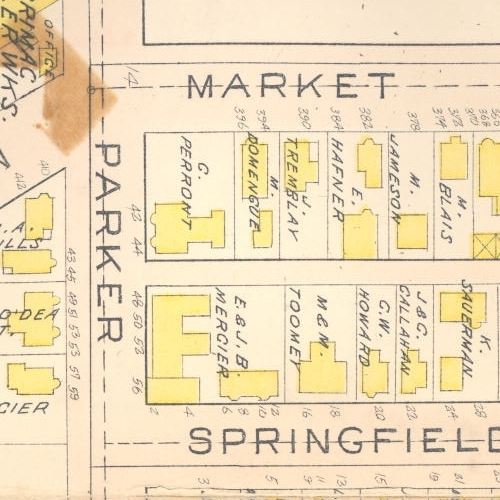 From 1896: L.J.Richards, Springfield, MA. Publisher
 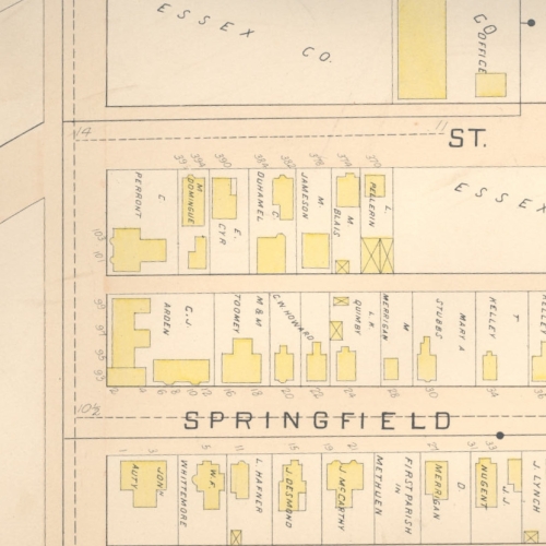 From 1875: C.M. Hopkins, Philadelphia,PA. Publisher
  For reference, Here is the current Google Map of this area.